Normandy Cycle Routes
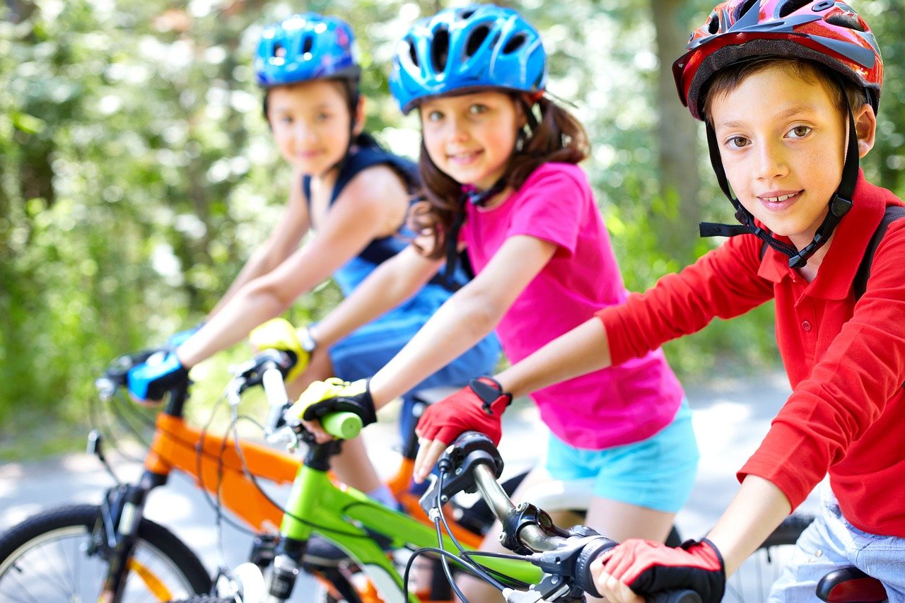
A number of my guests have brought their bikes to Normandy to enjoy some cycling. Normandy has 1600km of véloroutes (cycle routes) giving you cycling itineraries via traditional cycle paths or secure roads with little traffic. The cycle routes are designated by special signposts. 700km of these routes are greenways (or voie vertes in French). Greenways are specially built tracks – often former railways lines or towpaths – where there is no motorised traffic.
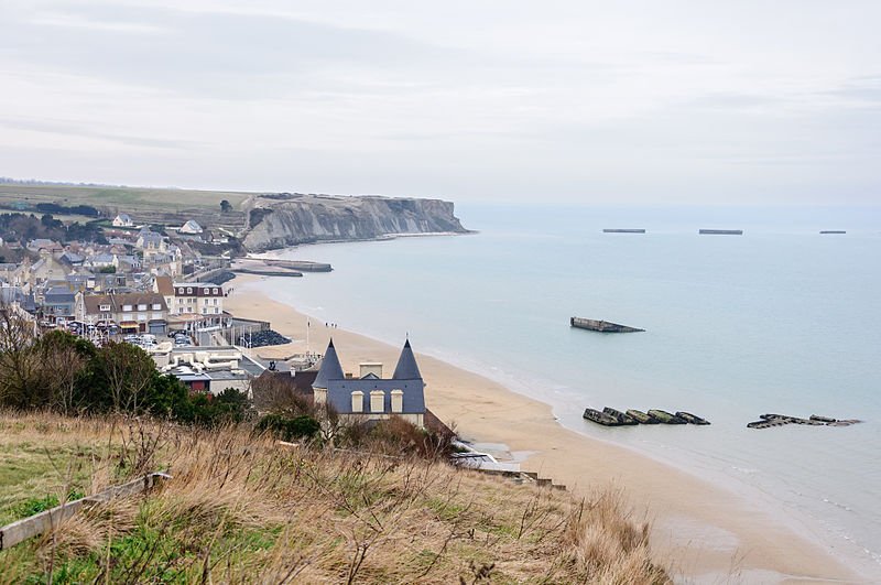
For the serious cyclist there are a number of long routes such as the landing beaches to Mont St Michel. There are 2 options here meaning you can start from either Utah beach or Arromanches. The route is 210km (130 miles long). There’s more information here including a detailed route.
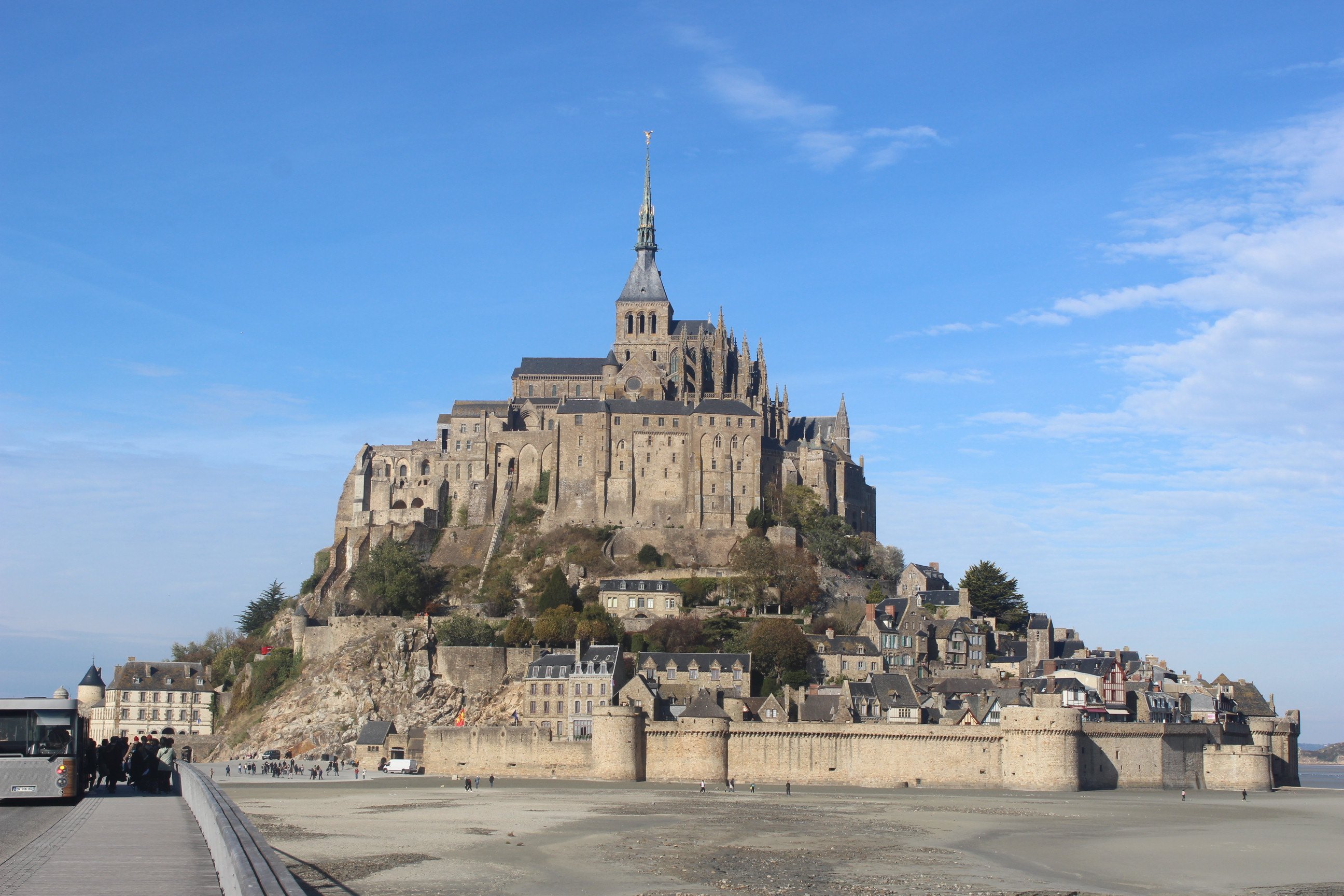
If you’d prefer to drive and take your bike, then you could cycle near Mont-Saint-Michel. You can’t leave your bike at the foot of the island or take your bike onto the island. The only permitted places to leave your bicycle are are near the Tourist Information Centre (near the parking) and by the dam. However, you can cycle to the foot of the island and back again. Read the information here.
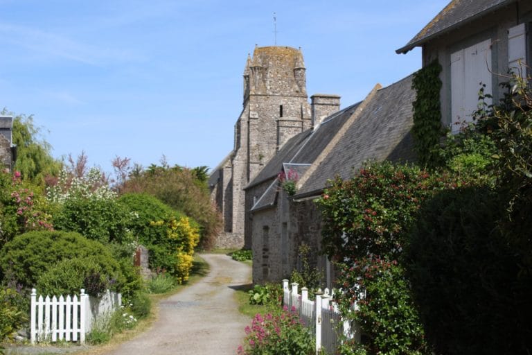
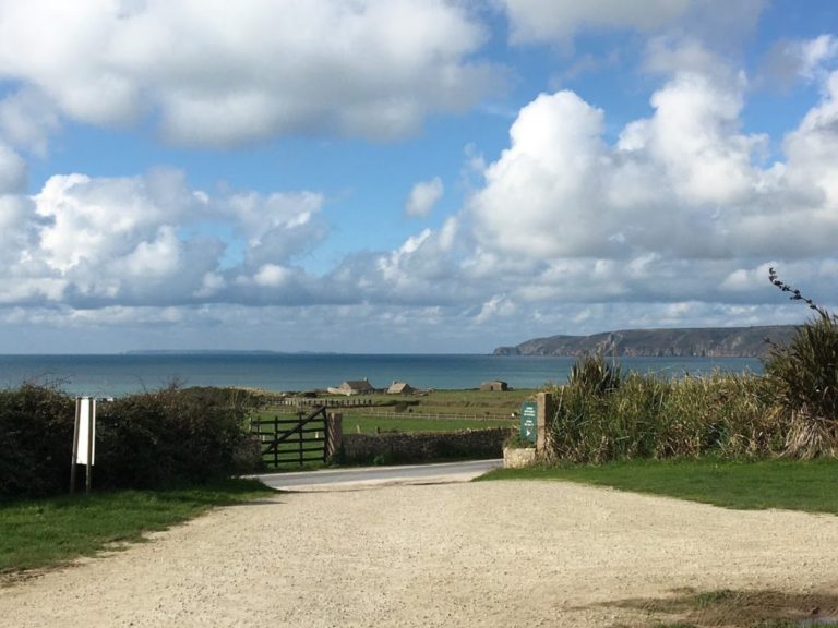
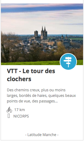
There are plenty of cycle routes near to the gite. This website lists some of them. If you scroll down to the bottom of the webpage you’ll see a list of routes – some of which have a bicycle symbol. The cycle route in the image below is around Nicorps and gives wonderful views over the steeples and bell towers of Coutances.
For more information about cycling in Normandy check out the website or watch the video below. The website includes a cycling map and also a list of bike hire outlets. There are also details of bike hire in La Manche region courtesy of Manche Tourisme.